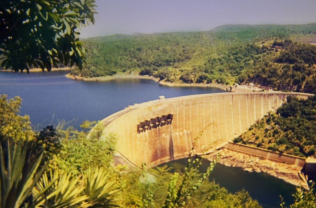
A reservoir is a natural or artificial lake, storage pond, or impoundment from a dam which is used to store water. Reservoirs may result from an avalanche, ice formation or a landslide (natural reservoir) or may be created in river valleys by the construction of a dam or may be built by excavation in the ground or by conventional construction techniques such as brickwork or cast concrete (artificial reservoir). Natural reservoirs often see fractures arising after a certain amount of time, caused by a great accumulation of water. Geological research has evidenced that since the last ice age several major floods were caused by this phenomenon. The major reason for constructing a reservoir usually is to generate green energy, where the great decline that is created in this way is used to drive a water turbine that powers an electric generator. In other cases, a reservoir is made as a regulator and a supply for irrigation or drinking water.

Assignment
If geologists investigate a site for the construction of a new reservoir, they first draw a two-dimensional profile of the elevations and depressions in the landscape. Based on such a profile, they can compute the storage capacity of the reservoir. If the soil on the site primarily consists of coarser materials (e.g. sand and gravel) they must also take into account the some amount of water will penetrate into the soil.
Define a class Reservoir that can be used to investigate the storage capacity of a reservoir based on a given two-dimensional profile of the landscape. The objects of this class must at least support the following methods:
An initialization method __init__ that takes the profile of a landscape as its argument. This profile is represented as a list or tuple of positive integers. Each integer indicates the elevation of the landscape at the next sample point along the profile (we assume that sample points are equidistant).
A method __str__ that returns a string representation of the reservoir. This string representation is formatted as a rectangular grid, with each column indicating the height at the corresponding sample point along the profile. The width of the grid is thus equal to the number of sample points along the profile. The number of hash symbols (#) at the bottom of each column column corresponds to the height of the landscape at the sample point. On top of the stack of hash symbols, the column is filled with spaces. The number of lines in the string representation (and thus also the number of rows in the grid) is determined as the maximal height across all sample points along the profile. When the reservoir is filled (see below), the positions in the grid that are occupied by water are represented by a tilde (~) instead of a space.
A method fill that fills the reservoir to its maximal water capacity. In doing so, it is assumed that the soil of the reservoir is considered impermeable, but that water can drain along the edges. An empty position in the grid representation of the reservoir (represented by a space in the string representation) is then occupied by water if that position is located in between two elevations (represented by hash symbols in the string representation) that are at least as high as the height of the position. The method must return the number of empty positions that are occupied by water when applying this procedure. After the method is called, the __str__ method must return the string representation of the reservoir that is filled to its maximal capacity.
A method drain that removes all water from the reservoir. The method must return the volume of water that was removed from the reservoir (counted as the number of positions in the string representation where a tilde was replaced by a space). After the method is called, the __str__ method must return the string representation of the reservoir that is completely empty.
A method penetrate that computes the volume of water that can penetrate into the soil. In doing so, it is assumed that the soil of the reservoir (where the landscape has height zero) is completely permeable. All water in the reservoir that touches the soil directly or indirectly (via water to the left, right or bottom) seeps away. The method must return the volume of water that seeps away from the reservoir when applying this procedure (counted as the number of positions in the grid representation of the reservoir containing water before calling the method where the water has seeped away after calling the method). After the method is called, the __str__ method must return the string representation of the reservoir must represent positions where water has seeped away using a space instead of a tilde (~).
Example
>>> profile = [4, 3, 2, 2, 1, 1, 0, 0, 0, 0, 0, 0, 0, 1, 1, 2, 5, 6, 5, 2, 2, 2, 3, 3, 3, 4, 5, 3, 2, 2]
>>> lake = Reservoir(profile)
>>> print(lake)
                 #
                ###       #
#               ###      ##
##              ###   ######
####           ###############
######       #################
>>> lake.fill()
63
>>> print(lake)
                 #
                ###~~~~~~~#
#~~~~~~~~~~~~~~~###~~~~~~##
##~~~~~~~~~~~~~~###~~~######
####~~~~~~~~~~~###############
######~~~~~~~#################
>>> lake.drain()
63
>>> print(lake)
                 #
                ###       #
#               ###      ##
##              ###   ######
####           ###############
######       #################
>>> lake.fill()
63
>>> print(lake)
                 #
                ###~~~~~~~#
#~~~~~~~~~~~~~~~###~~~~~~##
##~~~~~~~~~~~~~~###~~~######
####~~~~~~~~~~~###############
######~~~~~~~#################
>>> lake.penetrate()
47
>>> print(lake)
                 #
                ###~~~~~~~#
#               ###~~~~~~##
##              ###~~~######
####           ###############
######       #################
>>> lake.fill()
47
>>> print(lake)
                 #
                ###~~~~~~~#
#~~~~~~~~~~~~~~~###~~~~~~##
##~~~~~~~~~~~~~~###~~~######
####~~~~~~~~~~~###############
######~~~~~~~#################
>>> lake.drain()
63
>>> print(lake)
                 #
                ###       #
#               ###      ##
##              ###   ######
####           ###############
######       #################